Assessment of Current Ice Conditions Relevant to Distribution and Access of Walrus
Click the name of each community below to view more frequently updated and detailed information from the National Weather Service.
Synopsis: Weak low pressure lingers in the southern Bering Sea through Friday. High pressure builds over the Bering Strait region through the weekend and into Monday. A large low pressure and front moves into the Bering Sea mid and late week, sending a front over the region.
Near St. Lawrence Island
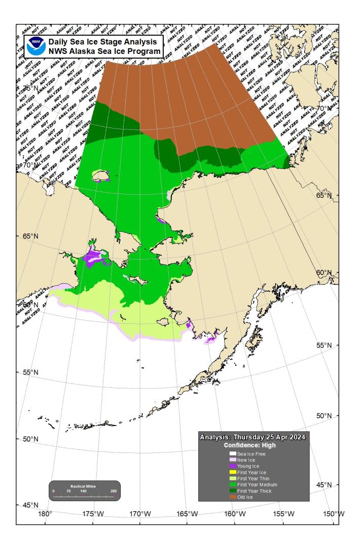
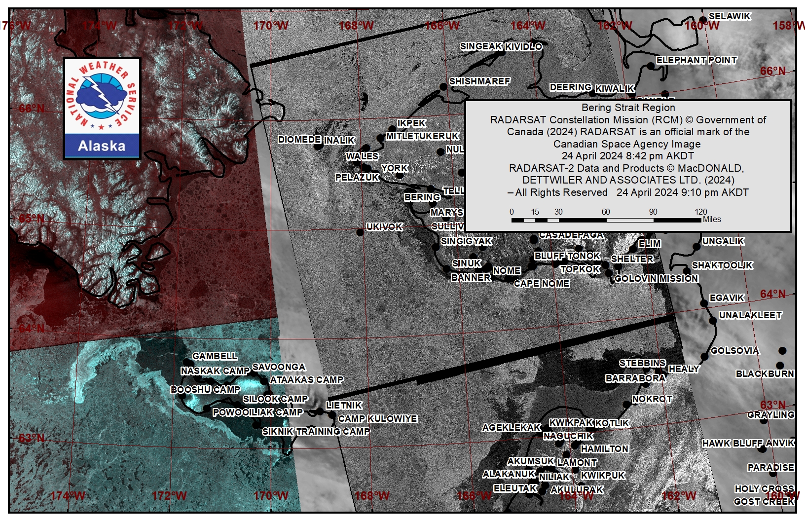
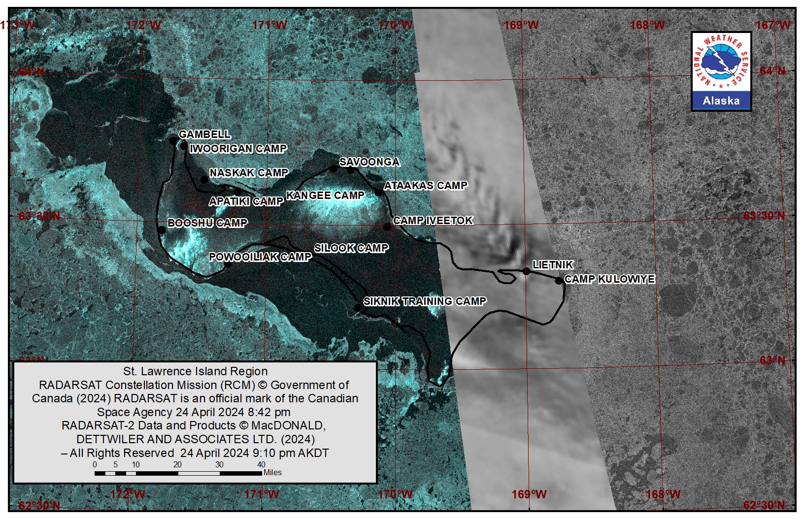
On Thursday, 25 April, easterly winds opened a polynya between Savoonga and Kangee Camp. The polynya extends 4.5 miles (7.2 km) from the coastline to the northwest. Beyond the polynya to Gambell is consolidated to compact pack ice with medium to vast floes. Another polynya extends from Gambell southward all the way through Oomeyaluk Bay. The polynya to the west extends 20 to 30 miles (32 to 48 km) and is open water to very open pack ice with brash ice to small floes. Along the south side of the island the polynya extends up to 15 miles (24 km) to the south and is open water to very open pack ice with brash ice to small floes. Beyond those polynyas are close pack ice, 5 miles (8 km) of new ice, followed by medium to vast floes. From Savoonga through Kialegak Pt. is close to very close pack ice with medium to vast floes.
Nome
This area has not yet started for the 2024 SIWO season.
Nome port entrance webcam (via AOOS webpage): https://bering-sea.portal.aoos.org/?ls=79875242-e362-65cb-914e-fed20ff9…
Brevig Mission/Port Clarence Area
To the west of Port Clarence, the polynya extends 5 miles (8 km) to the west and is open water with brash to ice cakes. Beyond the shorefast ice is close to very close pack ice with mostly medium to big floes with several vast floes and one giant floe 26 miles (41 km) east of Ukivok.
Wales to Shishmaref
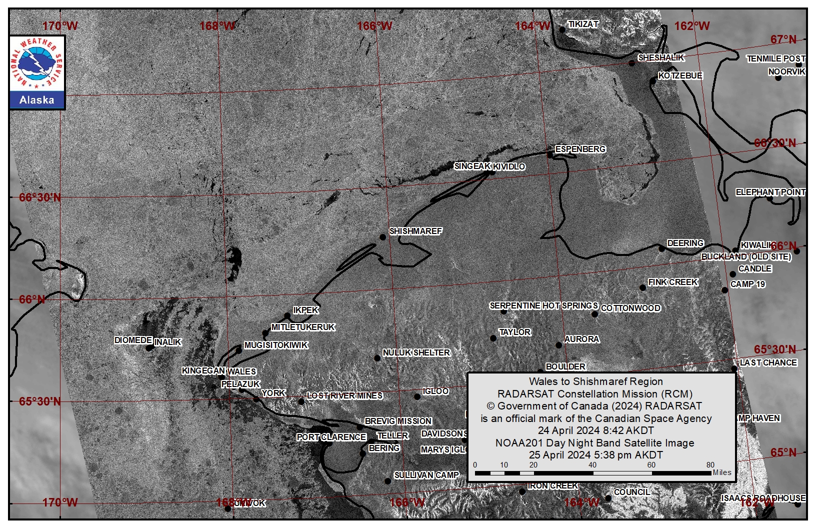
This area has not yet started for the 2024 SIWO season.
Diomede
Some compact ice remains between the islands. To the northwest of Diomede is a polynya with open water that extends 5 miles (8 km) from the ice between the islands. The polynya is open water with brash ice to ice cakes. Directly to the north of Diomede is an area of very open to open pack ice that extends 16 miles (25 km) to the north. It consists of small to medium floes. From northeast of Diomede to the southwest of Diomede, is close pack ice with small to big floes. An area of very open to open pack ice is 11 miles (17 km) to the east of Diomede to Wales, comprised of small to big floes.
Forecast Discussion
Ice Forecast
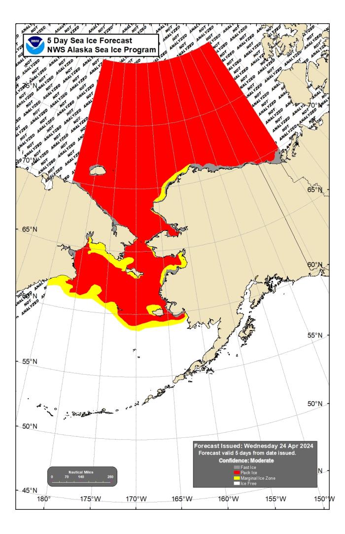
Winds will remain light enough through Monday that sea ice will generally move with tides and currents. Tuesday through the end of the week, easterly winds will return which will make the ice picture look much like the satellite images from Thursday, 25 April with polynyas to the west of Gambell and along the south of St. Lawrence Island as well as west of Port Clarence. Otherwise, there shouldn’t be much melt or thinning of the ice over the next week, and only shifting of floes with tides and currents.
Wind Synopsis
Near St. Lawrence Island, winds will be northerly from Friday through the weekend at 12 to 14 kts (14 to 16 mph) on Friday, diminishing to 4 to 5 kts (5 to 7 mph) by Sunday afternoon. Winds will be light and variable Sunday night before turning easterly on Monday morning and increasing to 18 to 20 kts (21 to 23 mph) by Tuesday afternoon. Winds will likely turn northeasterly during the day on Wednesday and persist at 12 to 16 kts (14 to 18 mph) through Friday.
Near Brevig Mission, northeast winds 5 to 8 kts (6 to 9 mph) will persist through the weekend before winds turn northwesterly at 4 to 7 kts (5 to 8 mph) on Sunday night. Northwest winds of 4 to 7 kts (5 to 8 mph) will persist until Tuesday morning when winds will turn back to northeasterly and increase to 12 to 16 kts (14 to 18 mph) and persist through Friday.
Near Diomede, winds will be persistently from the northeast from Friday through next week. Wind speeds from 8 to 12 kts (9 to 14 mph) from Friday through Tuesday morning will increase on Tuesday afternoon to 15 to 20 kts (17 to 23 mph) and persist through Friday.
Temperature Trend
High temperatures will remain fairly persistent through the week, in the low to mid 30s. Monday will be the coldest day when highs will likely remain in the upper 20s. Low temperatures will generally follow a cooling trend throughout the week, with lows 27 to 29 degrees on Friday morning, dropping to 22 to 24 degrees by Sunday morning and to 18 to 20 degrees by Tuesday morning. Lows look to rebound slightly into the low to mid 20s from Wednesday through the end of the week.
Near Diomede, high temperatures near 30 degrees on Friday will follow a cooling trend to the low 20s by Monday. Beginning Tuesday, high temperatures will begin to rebound and return to the mid to upper 20s. Low temperatures in the upper 20s Friday will cool to the low to mid-teens by Tuesday morning, then rebound back to the low 20s by the end of the week.
Daily Weather, Wind, and Temperature Updates
The National Weather Service provides twice-daily, text only updates on the weather, wind, and temperature conditions in specific geographical zones. An interactive weather map for access to other Alaskan zones can be found here: http://weather.gov/anchorage/ice
Higher resolution satellite images and wind maps (wind updated daily) can be viewed here: http://www.weather.gov/afg/SIWO_overview
The Alaska Ocean Observing System shares a variety of weather and sea ice related resources in their Bering Sea Portal at https://bering-sea.portal.aoos.org/.
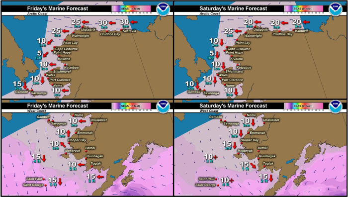
Marine forecast for the West Coast and Arctic Coast
Remote Sensing Images
Observations and Comments
Observations of Sea Ice Development
Observations from Port Clarence, Brevig Mission, and Cape Douglas
Friday, 26 April 2024 – Marcus Barr
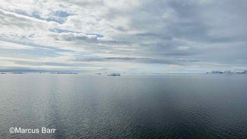
Ice edge is about 8miles west of Brevig Mission. Hunters are out and getting seal, a couple hunter saw walrus but wasn't able to hunt them.
Observations from Diomede
Friday, 26 April 2024 – Marty Eeleengayouq Ozenna
Later if we clear up, I'll climb the hill an take few pictures an yes to the south we're opened an to the north open close an south of Big Diomede had a open corner to there island, and yes we're melting kinda fast.
Sunday, 28 April 2024 – Marty Eeleengayouq Ozenna
Closed in today north wind about 20-25 knots climb almost to the top south side of the village and today a hunter was blessed to catch a bear as well.
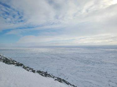
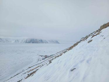
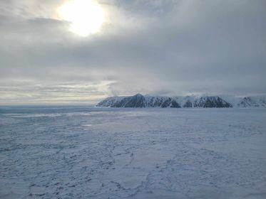
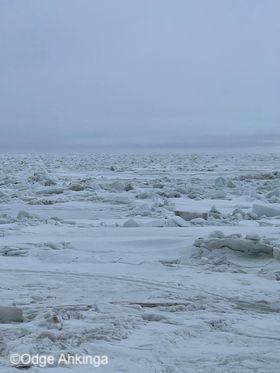
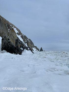
Sunday, 28 April 2024 – Odge Ahkinga
Little Diomede sea ice. Rough pressure ridges. Will be awhile before I get ready to go out hunting. Back then all the Diomede men would start the subsistence trails chopped and no one does the trails anymore. On a better note its hand line crabbing for now.
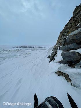
Observations from Gambell
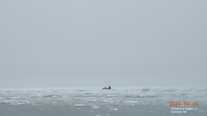
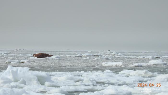
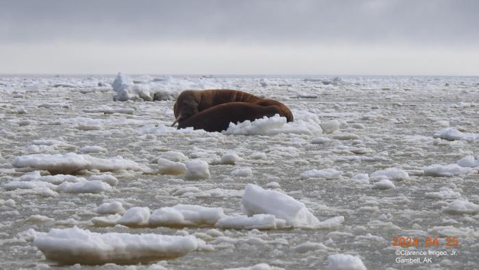
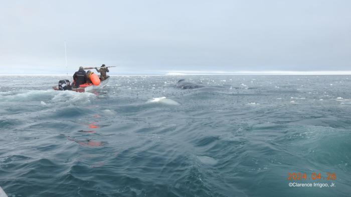
Friday, 26 April 2024 – Clarence Irrigoo, Jr.
April 22, 23 we have weather advisory. On 24th we have wind and wet snow. On 25 and 26 foggy.
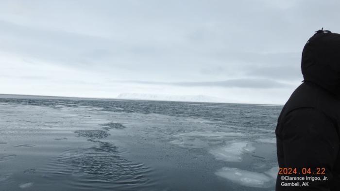
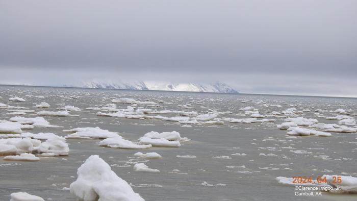
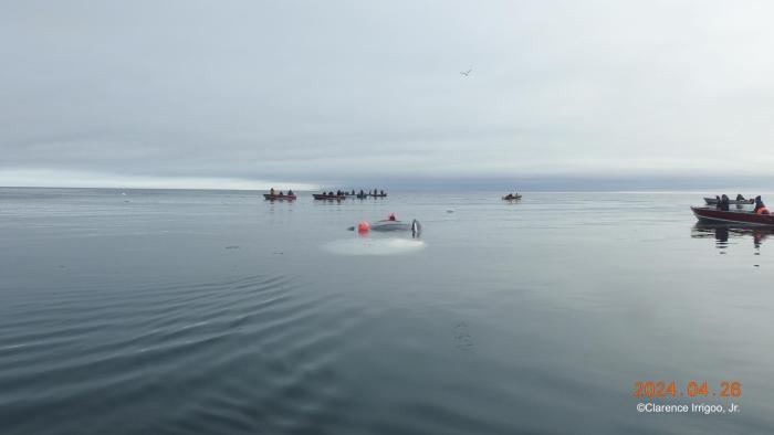
Friday, 26 April - 30° NNE 5mph, Emmanuel Oozeva and crew, 8 hours towing and twice broke the towing line, 53ft+.
Additional Comments Provided by Local Experts and Other Contributors
Shared by the Alaska Ocean Observing System (AOOS) for 24 April–2 May 2024
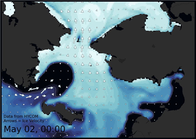
Visit the SIWO Facebook page @seaiceforwalrus to view this animation showing the predicted movement of ice predicted by the HYbrid Coordinate Ocean Model (HYCOM). Snapshots from the forecast show ice coverage from 0% (black) to 100% (white) and arrows show the relative speed and direction of the ice. A light boundary is drawn at 15% predicted ice cover to highlight the ice edge, but ice may be predicted to extend beyond it. Some bays, lagoons, and areas very close to shore are not covered by the model. (Image produced by the Alaska Ocean Observing System / Axiom Data Science).

