Assessment of Current Ice Conditions Relevant to Distribution and Access of Walrus
Near St. Lawrence Island
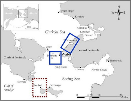
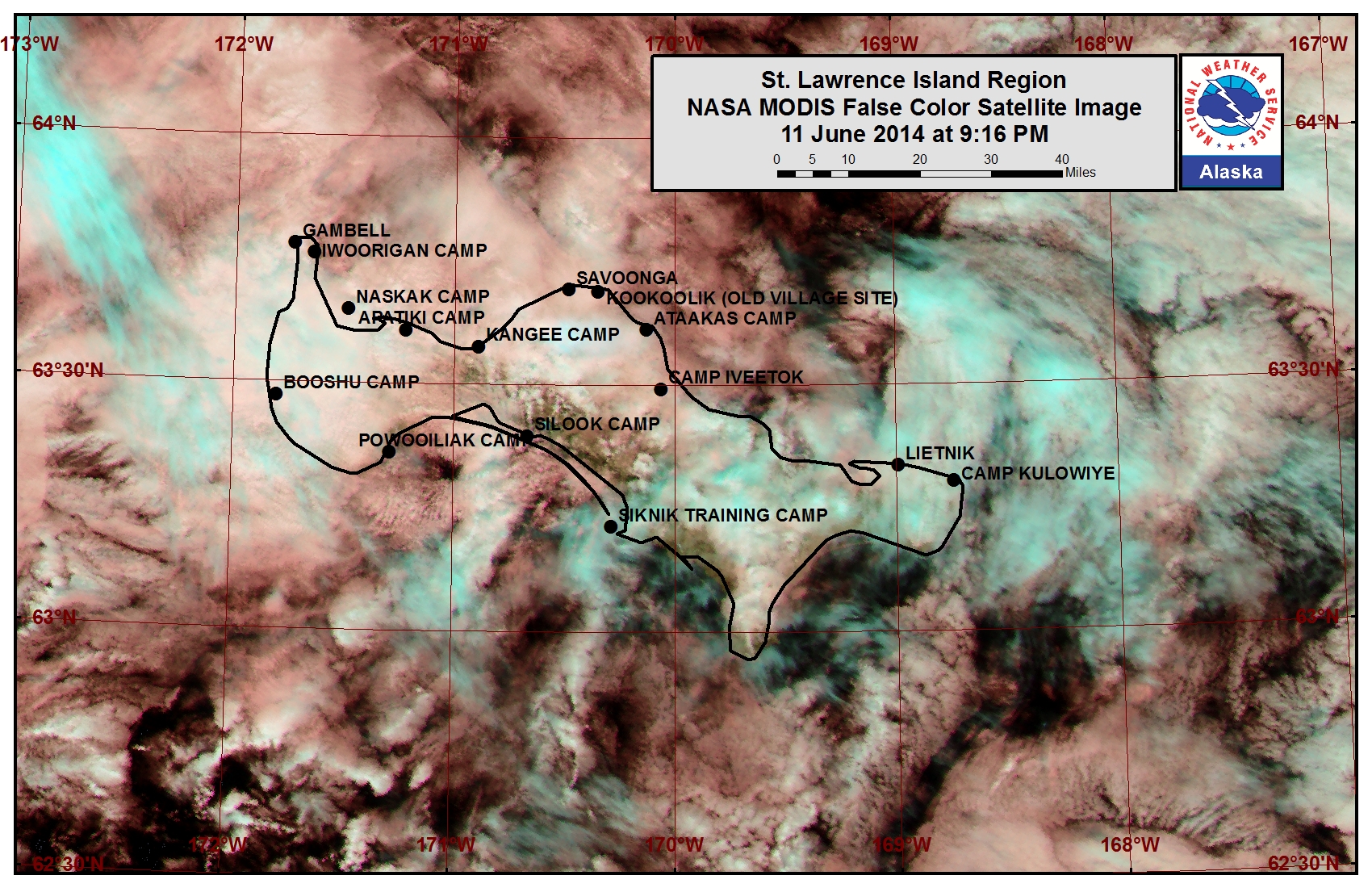
St. Lawrence Island is sea ice free beyond the western, southern, and eastern coastlines. Very open-to-open pack ice lies near the northern coast from Dovelawik Bay to Kangee Camp and from Cape Kitnik over to Tomname Lagoon. Open water to sea ice free conditions lie beyond the northern coast up to the Bering Strait with isolated areas of very open pack ice that are rapidly melting. Strips of sea ice are continuing to stream off the main pack ice remaining near the Gulf of Anadyr and are passing to the northwest of the island at this time.
Wales to Shishmaref
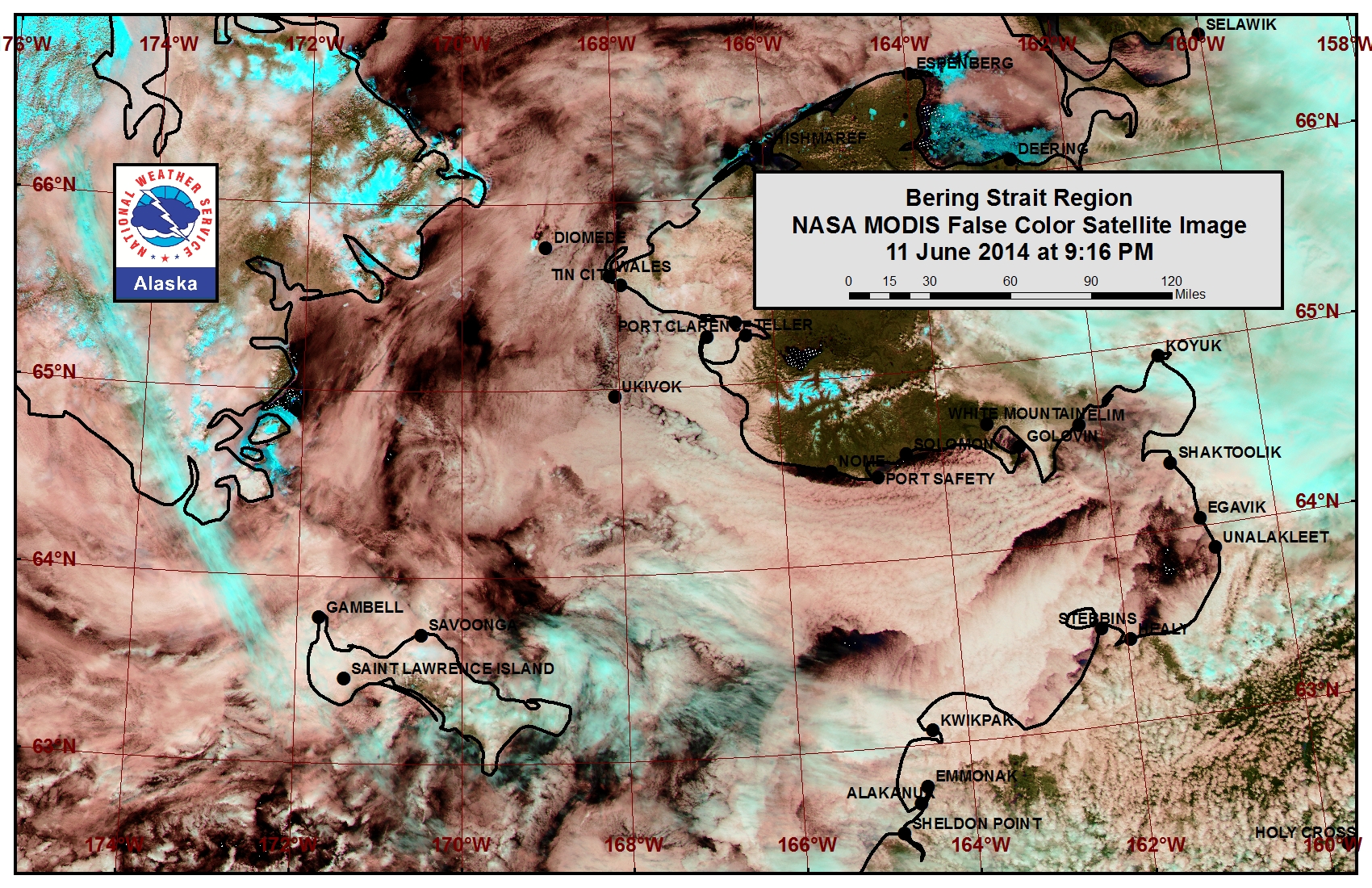
Lagoons in the inner waters from Wales to Singeak are mostly open water to sea ice free at this time. Up to 2 miles beyond the lagoons off the coast lies an area of previously shorefast sea ice that is continuing to melt out. Aside from this narrow ice band the southern Chukchi Sea from the Bering Strait up to roughly 68.8N is open water.
5 to 10 Day Forecast
Weather System/Wind Synopsis
High pressure will be situated over Eastern Russia on Friday, 13 June with a moderate northerly flow around 25 to 35 mph (20 to 30 kt). These moderate winds will continue through Saturday (14 June) and weaken to 15 to 25 mph (10 to 20 kt) on Sunday the 15th. The wind will turn to the west on Monday, 16 June and remain at 15 to 20 mph (10 to 15 kt) Monday and Tuesday with weak low pressure in the northern Chukchi Sea. Tuesday night, rainfall and wind will increase from the southwest as a low pressure system moves into Eastern Russia. Winds will be from the southwest at 25 to 35 mph (20 to 30 kt). The low will move slowly through the area. Therefore, the winds will remain moderate throughout Wednesday, 18 June. The low passes the area on Wednesday night with another weak low on Thursday, 19 June, with southeasterly winds of 20 to 30 mph (15 to 25 kt). Friday, 20 June, the low will move through the area with winds weakened at 15 to 20 mph (10 to 15 kt). Saturday the 21st will be dominated by weak flow (<15 mph, <10kt) as the area is between weather systems. A low-pressure system will move north along the west coast of Alaska Sunday, 22 June, bringing rainfall and northwesterly winds of 15 to 25 mph (10 to 20 kt). After this system moves through the area Sunday evening, winds will be light and variable (<15mph, <10kt) on Monday the 23rd.
Temperature Trend & Ice Forecast
Overnight temperatures during the period will be in the mid 30s over the Bering Sea and west coast of Alaska. The daytime temperatures will range from the lower 40s over the Bering Sea to the upper 40s to lower 50s along the west coast of Alaska. Sea ice concentrations will continue to decrease through this week owing to seasonal temperatures increasing and wave action breaking apart sea ice floes. Some larger ice floes will move south in the Chukchi due to stronger northerly flow this weekend. Midweek, the ice floes in the Gulf of Anadyr may work to the Bering Strait in the southwest winds.
Arrows show wind direction and wind speed in knots


Remote Sensing Images
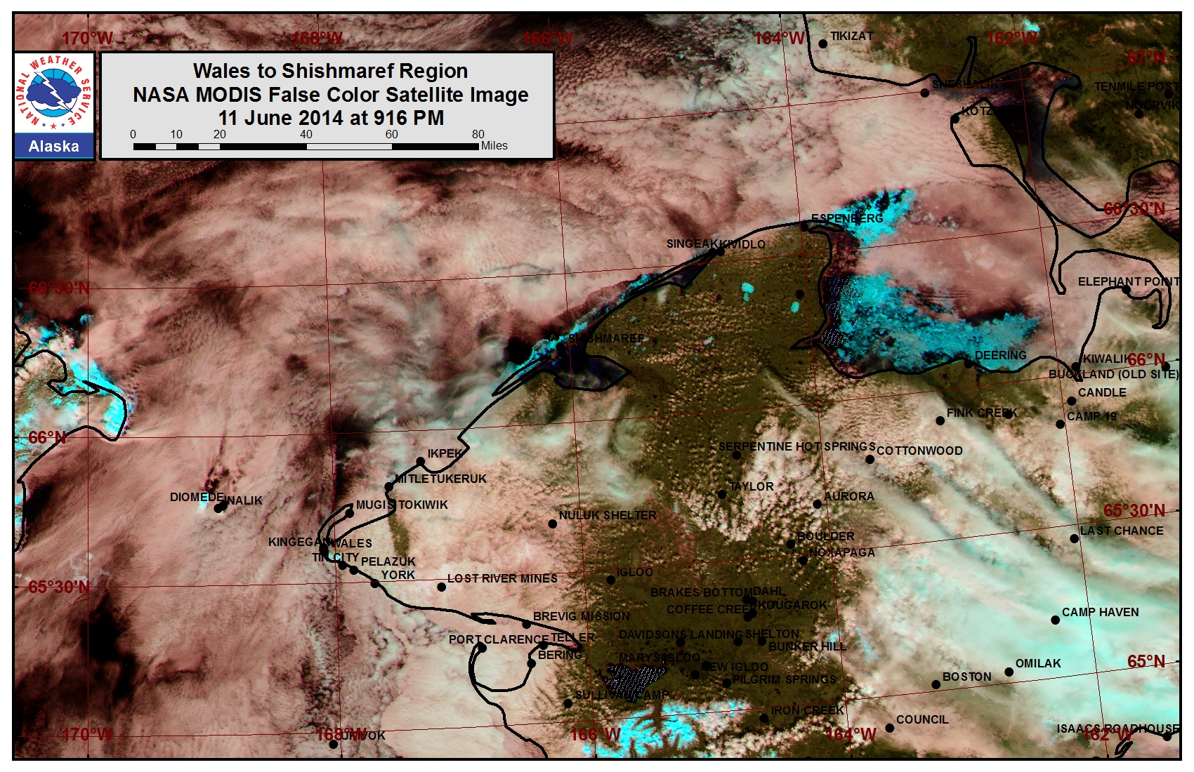
Observations and Comments
Observations of Sea Ice Development
Observations from Wales
13 June 2014 - Amos Oxereok
Only a small strip of landfast ice north of Wales remains and is rotting in place.
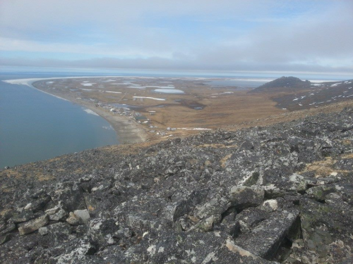
10 June 2014 - Amos Oxereok
Crumbled ice from the Teller / Grantly Harbor area has packed in around Wales.
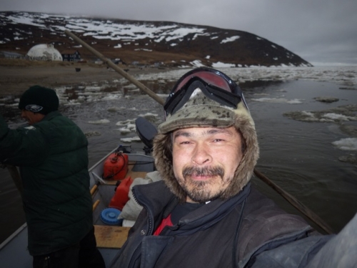
This crumbled ice extends for almost 10 miles up the coast to the northeast, near shore. Weakened shore ice that is currently breaking up extends at least another 10 miles up the coast.
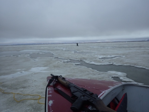
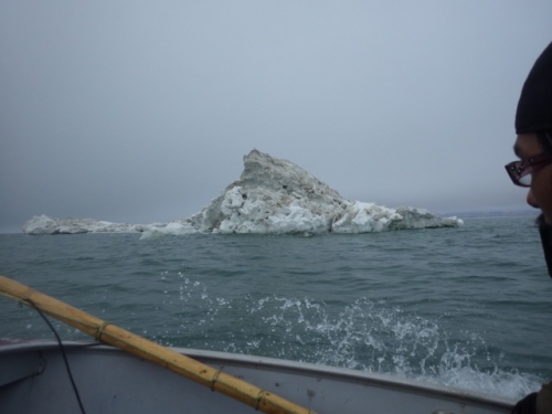
Of the several grounded pressure-ridge burgs near the coast, this is the largest one we have found.
