Assessment of Current Ice Conditions Relevant to Distribution and Access of Walrus
Near St. Lawrence Island
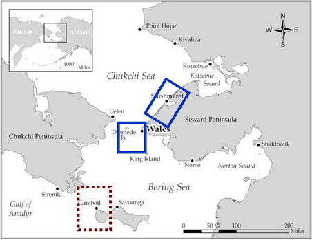
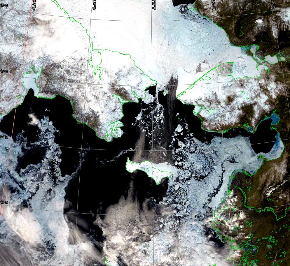
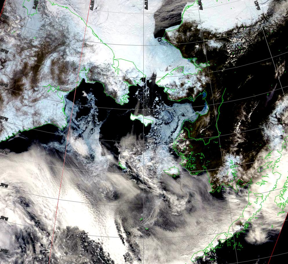
There is now open water south and west of St. Lawrence Island. There is a band of ice floes west of Gambell that extends southwest to northeast about 15 miles offshore. Floe size varies from 3/4 mile in diameter to very small floes. The floes are mostly broken. "Last ice" still remains in the southwest corner of the Gulf of Anadyr.
Wales to Shishmaref
Northerly winds continue to persist, pushing the ice pack down against the shorefast ice that is still in place across the northwest shore of the Seward Peninsula. A narrow strip of shorefast ice continues south along the shore past Wales. Offshore of this shorefast ice is open water with small floes. This open water area extends more than halfway across the Bering Strait.
5 and 10 Day Outlook: May 21 to May 31
High pressure will continue over the Arctic over the next ten days, though it will weaken slowly over the period. Thus northerly winds will predominate. This will keep the open water areas open, especially around St. Lawrence. Because of the northerly winds, what melting is occurring is taking place where the ice is now. Temperatures will continue to slowly rise.
Arrows show wind direction and wind speed in knots


Remote Sensing Images


